We have eaten a lot of
lobster in Maine and I am sure we will have more as we continue into
Canada. It seems strange now that lobster were once considered trash
and used to fertilize fields when a lot washed ashore after storms.
Servants complained if they had to eat lobster too often.
We have had wild
blueberries in Maine and there are wild blueberries in Canada. We
pass Wild Blueberry Land on the highway.
 |
| Wild Blueberry Land |
We cross into Canada to
Campobello Island.
 |
| Herring Cove |
 |
| Herring Cove Selfie |
After spending the night at Herring Cove
Provincial Park we tour Roosevelt Campobello International Park. I
did not realize that the Roosevelt's summer cottage was in Canada.
 |
| Roosevelt Cottage |
In the 1880's and 90's
wealthy families fled the heat of the east coast to points north. In
1883 FDR's parents visited Campobello Island and decided to buy land
for a cottage. Cottage was just what you called your summer house
regardless of the size. So after Franklin and Eleanor married they
came here also. His mother, Sara, bought them the house next door and
that is the cottage that remains. With a large family and 6 to 8
servants plus help hired from town they needed a big house. With the
addition the house grew to 10 thousand square feet. Although the
house always had running water from water pumped to a tank on the third floor, there was no electricity while it was owned by the Roosevelts. FDR contracted polio here in 1921 when he was 39. He made only 3 more
brief visits to the island after that, preferring to spend most of
his free time in therapy at Warm Springs, Georgia. Although the
family still came here.
 |
| Hubbard Cottage |
We toured the house and
had a “Tea with Eleanor” at the neighboring Hubbard Cottage that
is also part of the park.
Back over the bridge and
back into the USA. Such a hassle, filling out customs forms, etc. We
were on a little island for one day.
For the night we went back
into Canada and stayed at New River Provincial Park on the Bay of
Fundy.
 |
| The tide is low |
Our guide book said that the Provincial Parks were open until
the middle of October. Wrong. Most of them are already closed and
this one was closing the next night. They had already closed up all
but one bathroom.
Sunday in St John we first
went to the reversing rapids.
 |
| bay is right and river at left |
 |
| Painting of the Reversing Rapids |
The Bay of Fundy has very high tides.
About 28 feet right here. When the tide is low the St. John River
flows down in rapids to the bay. When it is right in between high and
low the water is flat and the river water and the bay water just meet
under the bridge. At high tide the rapids go up river and the tide
flows up the St. John River. We watch the water go up the river at
high tide.
The Queens Square Farmer's
Market is still open for the season. So we buy a few vegetables.
 |
| Queen Square Market |
Then
on to the New Brunswick Museum.
 |
| Outside the museum |
This museum is a bit
confusingly laid out. It is obvious that the war of 1812 was very
important to the locals because it comes first. On the second floor
we get a bit of an idea why. After the revolutionary war in the USA
there were about 500,000 Americans who had supported and fought on
the losing side, for the British. A lot of these people were not
comfortable staying with the revolutionaries. Many of them packed up
and moved north to New Brunswick which really did not exist then as a
settled land. The British helped them move and much to the chagrin of
the local natives, parceled off land for farms to the new settlers.
The Loyalists said they came because they were tired of war and wanted peace
and the security of the British. This is why the importance of the
war of 1812, which they portray as a war of American aggression. It
is also characterized as a war that both sides claim to have won.
Just what anyone won I am not clear.
We hoped to learn more
about the Loyalists, which is what those Tory Traitors were called
here, at the Loyalist House Museum. But after huffing up a steep city
block, it was closed.
 |
| No one is home |
 |
| Built on a rock |
So we hit the road again.
I spot a sign on a telephone pole advertising Shack Jackers. Move
your house for you.
I watch for moose in the
Musquash Marsh.
There is a covered bridge
visible from the highway.
We are spending the night
at the Fundy National Park. Very small park. We are camped up on a
bluff overlooking the Bay of Fundy and the town of Alma. It is low
tide right now. In Canada they are fond of having kitchen huts. There
are two kitchen huts and one bathroom house in our row of campsites.
The kitchen huts are meant for group parties with two big wood
cooking stoves and many tables.
We are going to look at the town of Alma and go look at the Hopewell Rocks.


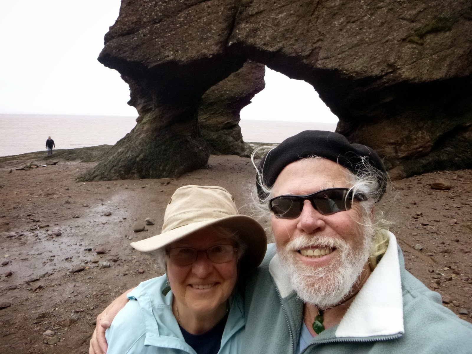 The bay here is chocolate with mud. It is known as the Chocolate River even though it is just part of the Bay of Fundy.


